Today’s Ile de Ré is, strictly speaking, no longer a real island since May 1988, when a 2,926.5 metre-long bridge connected it to the mainland. This makes it easily accessible from La Rochelle (Charente-Maritime).
There used to be four small islands there, which have grown together over the course of time through embankments and dykes to form one – still not really large – island.
85.32 km2, 24.5 km long, 1.30 km to 5.9 km wide… From the small town of Saint Martin de Ré in the centre, you can quickly get anywhere on the island… Ideal for cyclists, there are cycle paths almost everywhere, so country roads are a no-go for bikers. However, there is hardly a mountaineering prize: the highest point on the Ile de Ré is just 19 metres!
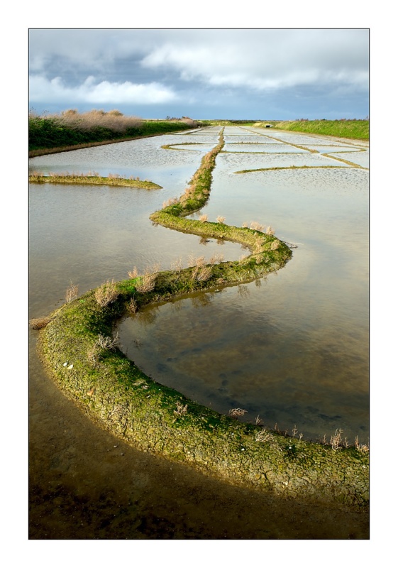
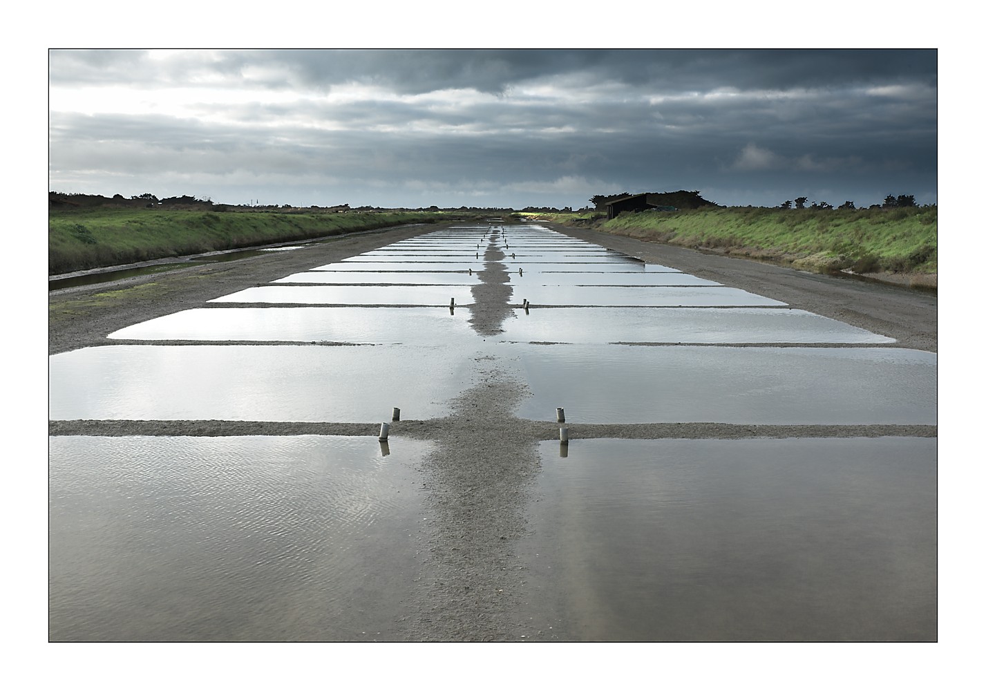
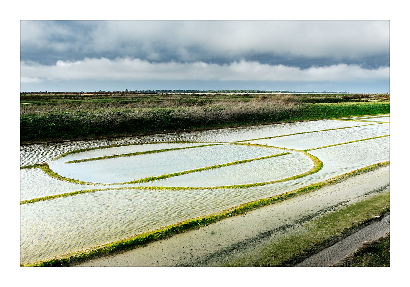
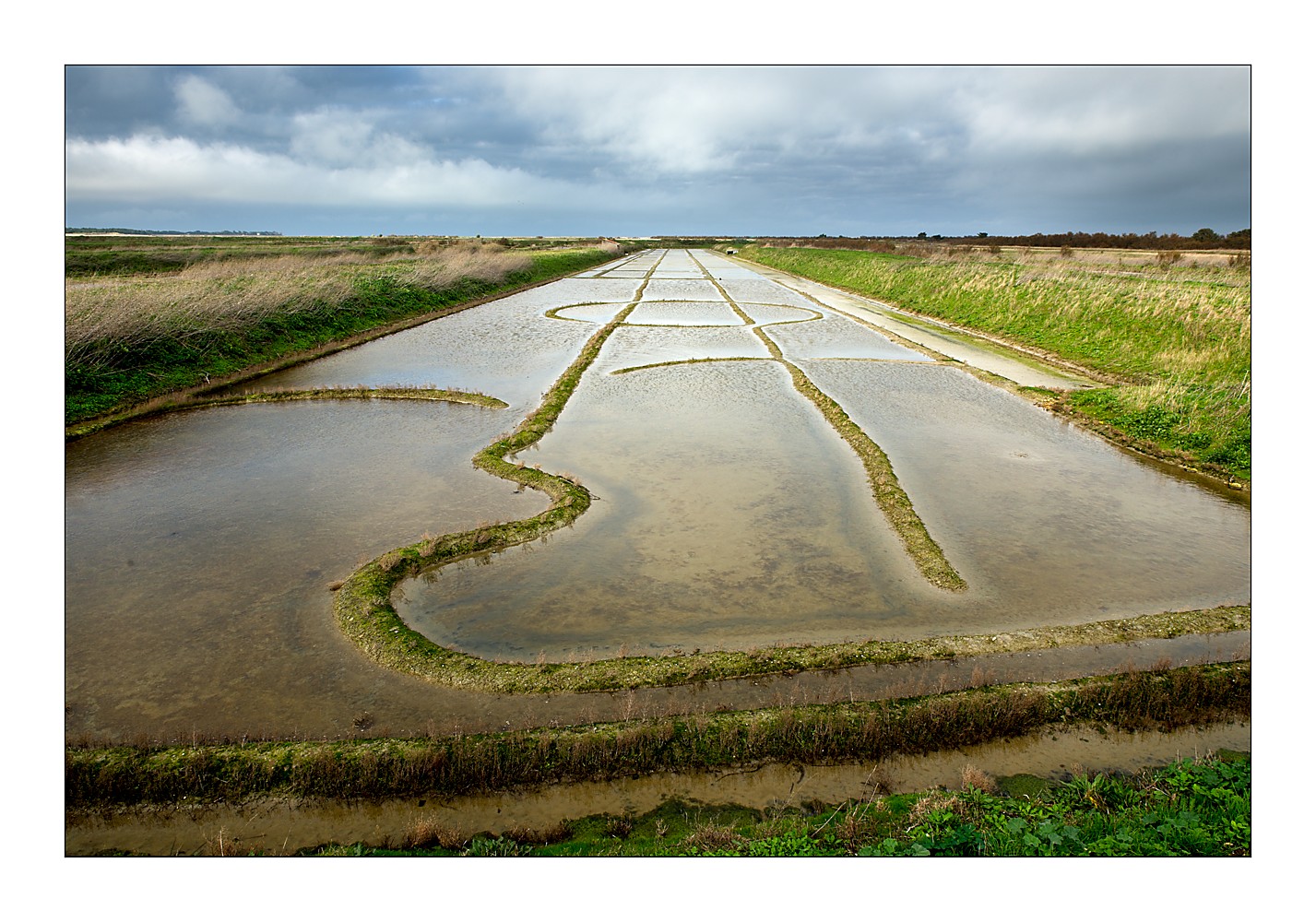
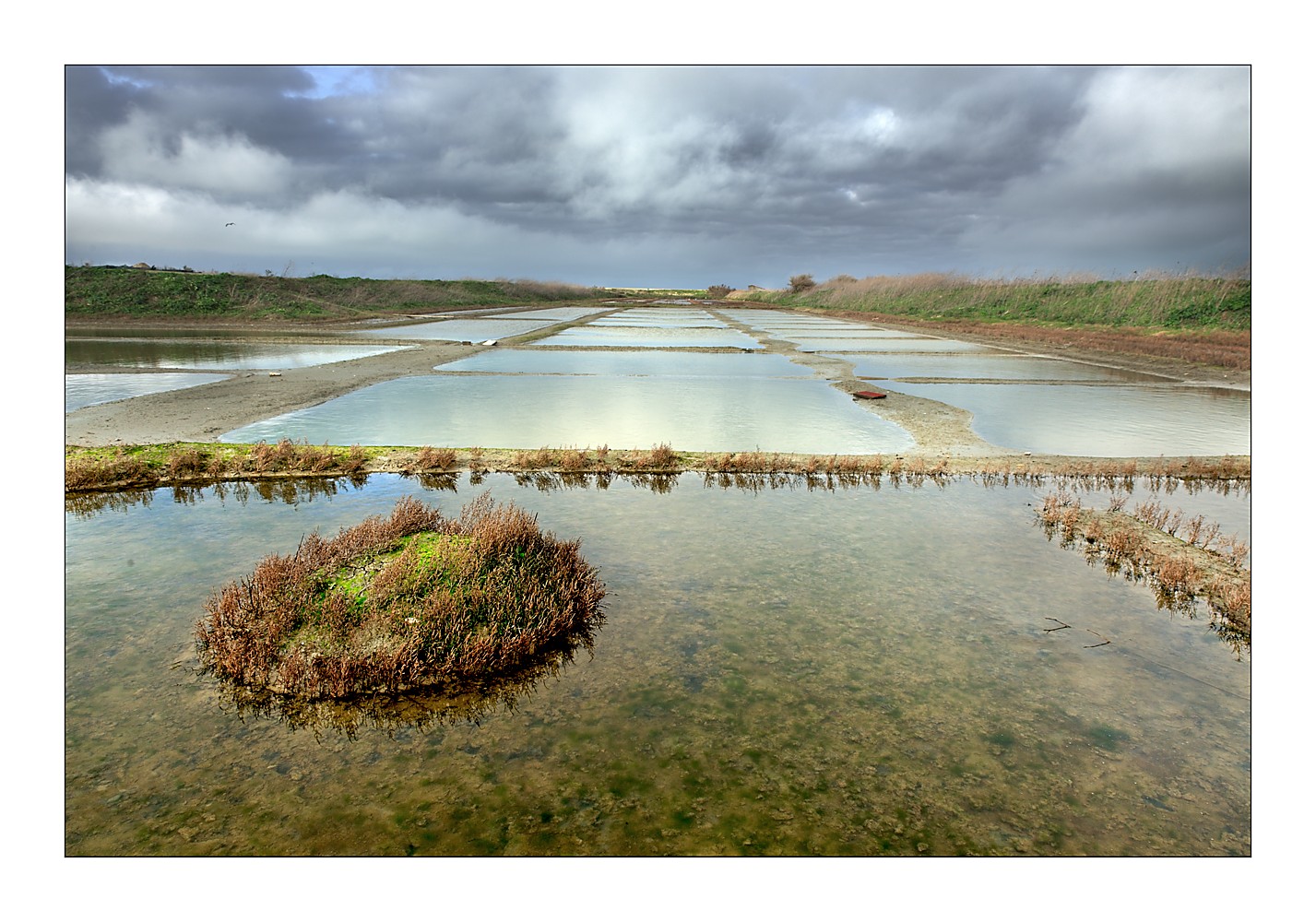
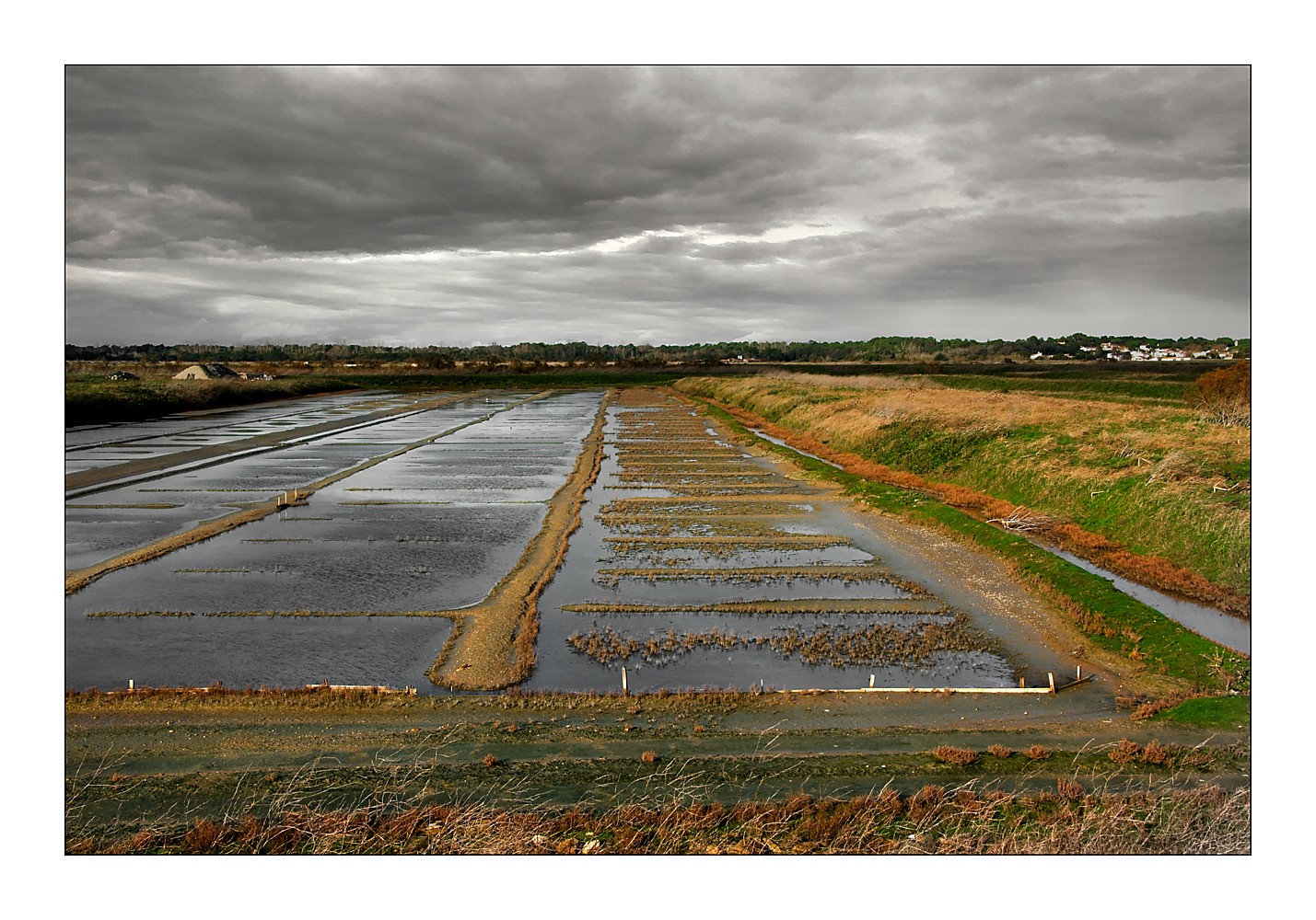
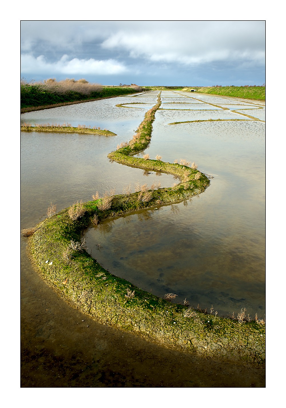
Large areas are partially flooded: le marais salant, the “salt marsh” is flooded by a complex system of sluices. In summer, the rectangular basins dry out so that the “sauniers” can harvest the salt.
